

Engineering geodetic and geological survey services from a service company with over 12 years of engineering survey experience.
Engineering geodetic and geological survey services from a service company with over 12 years of engineering survey experience.
a service company in the engineering survey market
for over 12 years.
Our main goal is to earn and keep the trust of our clients by delivering engineering geodetic and geological services honestly and to the highest standard. The core principle of our work is respect for, and satisfaction of, every requirement our clients set for the quality of our services.
Our staff are highly qualified specialists who have taken part in many projects. To keep their skills up to date, our specialists regularly attend specialised training courses
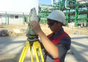
Complete topographic data collection for a land plot, using a range of instruments and methods.
Read more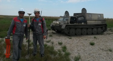
Staking out design axes and control surveys for construction projects, with checks on the accuracy of as-built positions.
Read more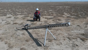
Aerial photography and laser scanning from manned aircraft and drones, for maps, orthophotos and 3D terrain models.
Read more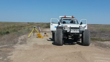
Ground-penetrating radar, resistivity and seismic methods that show subsurface conditions before design and construction.
Read more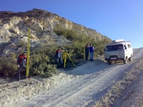
Setting up a control geodetic network on the site and tying the object to the local coordinate system and the absolute height system.
Read more
Boreholes, soil sampling and field tests along land routes and coastal transition zones, to support foundation and pipeline design.
Read more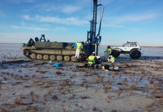
Cone penetration (CPT) and dynamic probing to measure soil strength and layering quickly, with results ready for foundation design.
Read more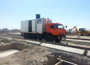
Physical and chemical tests on soil and groundwater samples, including corrosion aggressiveness for concrete and steel.
Read more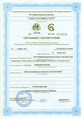
The company is certified to international and Kazakhstani standards, covering: