Aerial survey is one of the most effective ways to collect spatial data. High resolution (down to a few centimetres) and image quality make aerial survey data suitable for a wide range of tasks.
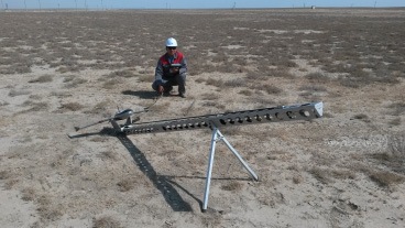
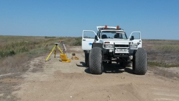
We carry out aerial survey (aerial photography) using both manned aircraft and unmanned aerial vehicles (drones). Aerial survey provides all the baseline information needed to produce cartographic and GIS materials at scales from 1:500 to 1:5000. Our range includes colour, near-infrared and thermal aerial photography, as well as airborne laser scanning, an active type of aerial survey.
The ground detail of aerial survey data ranges from 30 cm down to 3 cm, which allows many tasks to be solved without a site visit. When ordered in large volumes, aerial survey can cost less than satellite imagery of comparable resolution.
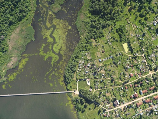
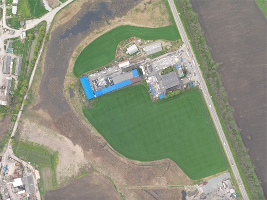
Types of aerial survey:
DIGITAL PHOTOGRAPHY
VISIBLE SPECTRUM (RGB), FRAME CAMERA
- Resolution 3–30 cm, accuracy 1:500–1:5000.
- Production of orthophoto maps, thematic maps, GIS layers, digital elevation models (DEMs) and 3D terrain models.
DIGITAL PHOTOGRAPHY
NEAR-INFRARED (CIR, IR), FRAME CAMERA
- Resolution 10–30 cm, accuracy 1:1000–1:5000.
- Production of orthophoto maps, thematic maps and vegetation indices.
- Assessment of vegetation health and detection of pollution.
DIGITAL PHOTOGRAPHY
THERMAL RANGE, FRAME CAMERA
- Resolution 20–100 cm, accuracy 1:5000–1:10000.
- Production of orthophoto maps and thematic maps.
- Assessment of waterlogging, detection of thermal anomalies and heating pipelines.
Products derived from aerial survey data
- Topographic maps and plans at 1:500–1:5000 and smaller scales.
- Digital elevation models matching 1:500–1:5000 detail. Height accuracy 0.1–0.5 m.
- Orthophoto maps at 5–25 cm resolution in the visible and/or near-infrared range, at 0.5–2.0 m in the thermal range and 0.5–3.0 m in hyperspectral mode.
- GIS layers, general-purpose or thematic, in ArcGIS, MapInfo and other formats.
- Terrain profiles (longitudinal and cross-sections).
- Web portals built on the data products listed above.
- Spatial databases built from orthophotos and DEMs, used as the source of horizontal and vertical control for smaller-scale work.
- Virtual terrain models combining the products above, to support decision-making at every management level.
Advantages of aerial survey
- High resolution.
- Option to add laser scanning.
- Thermal and hyperspectral imagery with detail better than 1 m.
- Very detailed elevation models even over forested areas, with high absolute accuracy.