
Topographic surveys give an accurate picture of the ground surface, buildings and utilities on a site. We provide the base maps, plans and control networks that design and construction projects start from.
What we do
We survey land plots, industrial sites and linear routes, and tie every measurement to the local or state coordinate system and height system. Each job runs from reconnaissance and field measurement to a finished drawing.
- Topographic plans at 1:500 to 1:2000 scale
- Cross-sections and longitudinal profiles of linear routes
- Cadastral and boundary surveys
- Geodetic control networks, planimetric and height
Methods and equipment
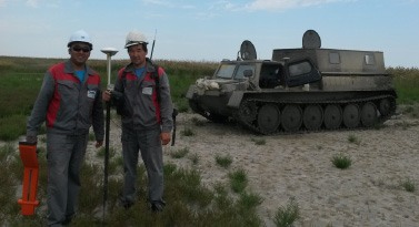
- GNSS receivers (RTK and static) for control points and detail
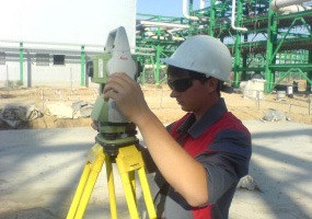
- Total stations and digital levels
- 3D laser scanning of complex structures
- Processing and drawing in AutoCAD Civil 3D and MapInfo
Deliverables
- Topographic plan in DWG and PDF
- List of control point coordinates
- Survey report with methods and accuracy
- Cross-sections in DWG and spreadsheet format
Typical timeline
A single plot of up to 10 ha usually takes 5 to 7 working days in the field, plus 3 to 5 days for processing and drawing. Larger or linear projects are scheduled in stages agreed with the client.
Request a quote
Send us the site location, the area and the deadline, and we will reply with a quote for your project.
Request a quote