
Geophysical methods show what lies under the surface without digging. We use them to locate utilities, voids and buried objects, and to map geological structure before drilling or construction.
What we do
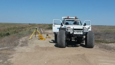
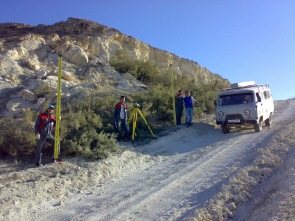
Our geophysics team works on land and in shallow water areas, and interprets the results together with the geological and engineering data for the site.
- Mapping of underground utilities and buried metal objects
- Detection of voids, karst and disturbed ground
- Mapping of geological layers and water-bearing zones
- Shallow seismic profiling of foundation soils
Methods and equipment
- Ground-penetrating radar (GPR) with multi-frequency antennas
- Electrical resistivity tomography (ERT)
- Electromagnetic cable and pipe locators
- Shallow seismic refraction
Deliverables
- Profile sections with interpreted anomalies
- Plan map of located objects
- Interpretation report with recommended drilling points
Typical timeline
A site of 1 to 3 ha takes 2 to 4 days in the field and about one week for processing and interpretation.
Request a quote
Send us the site location, the area and the deadline, and we will reply with a quote for your project.
Request a quote